

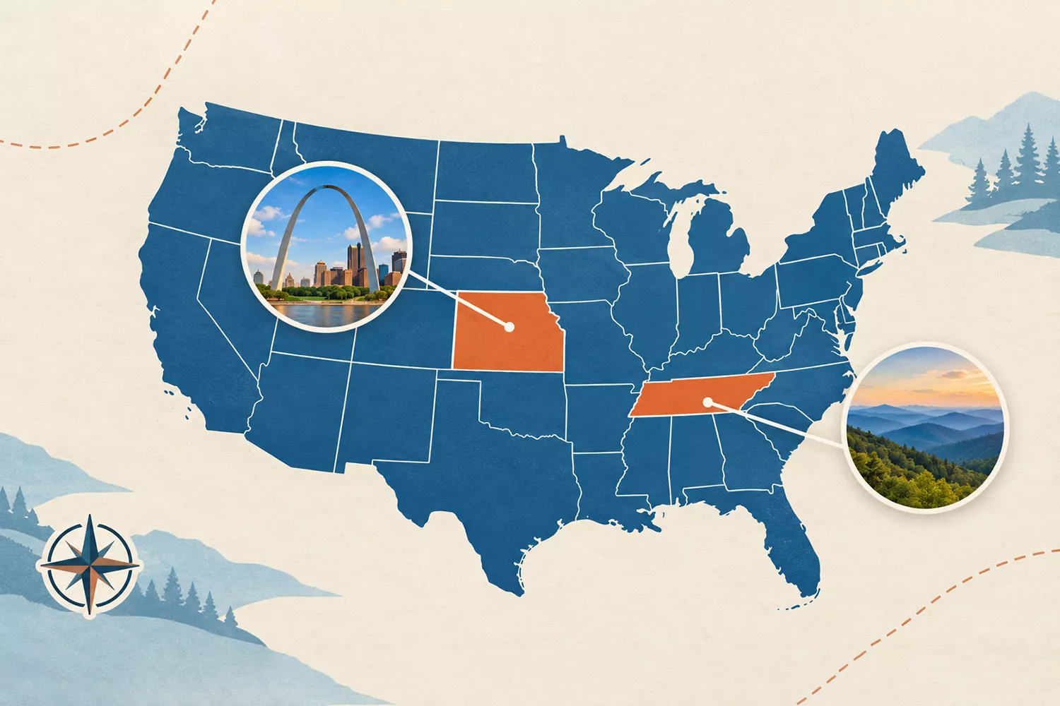
Missouri and Tennessee border the most states in the United States, with eight neighboring states each. Neither holds the record alone. Both share boundaries with eight other U.S. states, including boundaries that run along rivers.
Missouri connects the Midwest, Great Plains and South. Tennessee stretches across the Southeast, reaching from the Mississippi River to the Appalachian Mountains. Their different shapes produce the same result: more state neighbors than any other state.
Here are their complete neighbor lists, how to find them on a map, and the counting rules that explain other closely ranked states.
Which States Border the Most Other States?
| State | Number of neighboring states | Bordering states |
| Missouri | 8 | Arkansas, Illinois, Iowa, Kansas, Kentucky, Nebraska, Oklahoma, Tennessee |
| Tennessee | 8 | Alabama, Arkansas, Georgia, Kentucky, Mississippi, Missouri, North Carolina, Virginia |
| Kentucky | 7 | Illinois, Indiana, Missouri, Ohio, Tennessee, Virginia, West Virginia |
| Colorado | 7 including a point contact | Arizona, Kansas, Nebraska, New Mexico, Oklahoma, Utah, Wyoming |
Counting rule: Each neighboring U.S. state counts once. Shared river boundaries count. Colorado reaches seven only when its point contact with Arizona at Four Corners is included. Excluding point contacts gives Colorado six neighbors, while Missouri and Tennessee remain tied at eight.
Foreign countries and the District of Columbia do not count as U.S. state neighbors.
What Eight States Border Missouri?
Missouri borders Iowa, Illinois, Kentucky, Tennessee, Arkansas, Oklahoma, Kansas and Nebraska. The U.S. Census Bureau geography guide for Missouri confirms all eight.
A useful way to remember them is to travel clockwise around the map:
- Iowa lies to the north.
- Illinois lies to the east, across the Mississippi River.
- Kentucky meets southeastern Missouri along the Mississippi.
- Tennessee borders the southeastern Bootheel region across the river.
- Arkansas lies to the south.
- Oklahoma touches a short section of the southwestern boundary.
- Kansas lies to the west.
- Nebraska lies to the northwest.
The easiest neighbors to overlook are Kentucky, Tennessee and Oklahoma. Their boundaries occupy relatively small portions of the outline, but a short border counts just as much as a long one.
The Bootheel, the distinctive projection in southeastern Missouri, is especially useful to locate. Looking closely at this area makes the Tennessee connection much easier to understand than it is on a small national map.
What Eight States Border Tennessee?

Tennessee borders Kentucky, Virginia, North Carolina, Georgia, Alabama, Mississippi, Arkansas and Missouri. These are the eight neighbors listed in the U.S. Census Bureau geography guide for Tennessee.
Group them by direction to make the list easier to learn:
| Direction from Tennessee | Neighboring states |
| North and northeast | Kentucky and Virginia |
| East | North Carolina |
| South | Georgia, Alabama and Mississippi |
| West and northwest | Arkansas and Missouri |
Its long east-to-west shape places Tennessee beside several states along both its northern and southern edges. Its western end reaches two more across the Mississippi River.
Virginia is easy to miss because it meets only the northeastern part of Tennessee. Missouri is another common omission because its contact occurs near the opposite end of the state.
Notice that Missouri and Tennessee also border each other. Their shared boundary contributes one neighbor to each total.
Why Do Missouri and Tennessee Have So Many Neighbors?
Their locations and boundary arrangements explain the tie. Both occupy inland positions surrounded by other states, and different sections of their outlines meet different neighbors.
Tennessee has an elongated shape. Kentucky and Virginia meet its northern side, three states meet its southern side, and additional neighbors occupy its eastern and western ends.
Missouri has a different arrangement. Several states lie across its eastern river boundary, while others meet its northern, western and southern edges. Its southeastern Bootheel adds another distinctive part to that pattern.
These outlines developed through territorial organization, statehood and later boundary changes. The broader history of formerly independent countries that became part of the United States shows how gradually the modern American political map took shape.
Size alone does not determine the number of neighbors. Alaska is enormous but borders no other U.S. state. Texas borders four. The arrangement of surrounding states matters more than total area.
Do River Borders Count as State Borders?
Yes. A legal boundary along a river counts when identifying neighboring states. Two states can share a border even when water separates their riverbanks.
The Missouri Department of Natural Resources explains that the Mississippi River separates Missouri from Illinois, Kentucky and Tennessee. Those three states therefore belong in the Missouri total.
However, sharing a river basin does not automatically make two states neighbors. A basin is the area drained by a river system. States can contribute water to the same system while remaining far apart.
The same distinction between water and separation matters internationally. Several U.S. states that border Canada have boundaries across the Great Lakes or connecting waterways. A border does not require a walkable crossing.
Does Colorado Border Six States or Seven?
Colorado shares boundary segments with six states and touches a seventh, Arizona, at one point. That point is Four Corners, where Arizona, Colorado, New Mexico and Utah meet.
Colorado shares extended boundaries with Kansas, Nebraska, New Mexico, Oklahoma, Utah and Wyoming. Arizona reaches it only at the common corner.
Our guide to the Four Corners states explains this unusual arrangement. The distinction is between sharing a boundary segment and meeting at a single point.
Neither counting method changes the record. Colorado has six or seven neighbors depending on the convention, while Missouri and Tennessee each have eight without relying on point contacts.
Which States Have Six Neighbors?
Arkansas, Idaho, Iowa, Nebraska, Oklahoma, South Dakota and Wyoming each border six other states. Utah also reaches six when its point contact with New Mexico is included.
These counts describe political geography. They do not indicate how flat, mountainous or easy to cross a state might be. Comparing the flattest states in the U.S. with the most mountainous states reveals a separate set of geographic patterns.
Frequently Asked Questions
No. Eight is the maximum, shared by Missouri and Tennessee. Including point contacts does not produce a state with nine neighbors.
No. Both border eight states. Naming only Tennessee or only Missouri leaves out the other joint record holder.
Maine borders only New Hampshire. Its Canadian neighbors do not increase its count of neighboring U.S. states.
No. This question counts other U.S. states. International neighbors belong in a separate comparison, such as the four states that border Mexico.
Kentucky borders seven states. Colorado also reaches seven if its point contact with Arizona is counted. When only shared boundary segments count, Kentucky stands alone immediately below Missouri and Tennessee.